
How We Work
We get out into the field as often as three times a month and count it among our blessings. Our division of labor falls into place effortlessly and without conscious assignment (on the trail, in camp, at the computer), each of us doing what comes naturally, so that each can focus on our own pieces of the project.
We research a given cemetery before heading out to visit it. Renée does the lion's share of the online research and Jim organizes our collective output. We are endlessly indebted to the historians whose research we access.
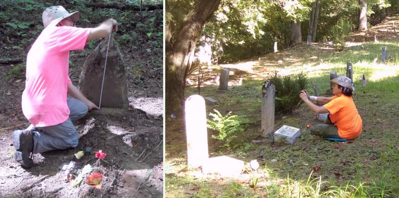
Most followers of our project understand that Renée is the photographer and Jim the writer, although there is occasional overlap. Renée takes pictures while Jim takes notes. Renée, being visual by nature, notices and points out details that Jim misses, and her observations go into Jim's field notes. We discuss each cemetery at length and the narrative reflects our combined ideas.
(The neon t-shirts in the next photos serve a practical purpose - they help us keep track of each other when either of us strays into the undergrowth while exploring an area.)
We take tablet computers into the field, and by now cannot imagine doing the project without this technology.
We use a GPS program for Android tablets called AlpineQuest GPS Hiking, designed specifically for hikers. It allows you to download and store any of several dozen maps for use in the field. (You won't need the entire United States, so it lets you draw a box around the area you want to store and downloads only that data.) Each map has its own particular detail, and we switch back and forth among them according to our needs.
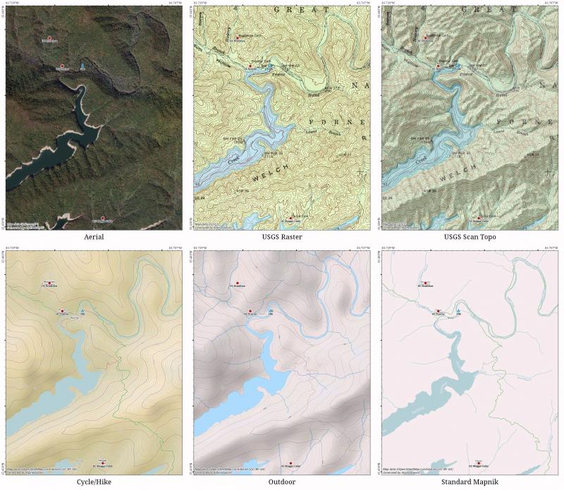
The free version of AlpineQuest has countless tracking and waypoint features, but does not allow you to download and store maps from the libraries. They have another free program, based on the same code, called All-In-One OfflineMaps that lets you store maps, track and set waypoints, but does not include the advanced features of AlpineQuest. The registered version of AlpineQuest combines all features of the two and was the best ten bucks we ever spent.
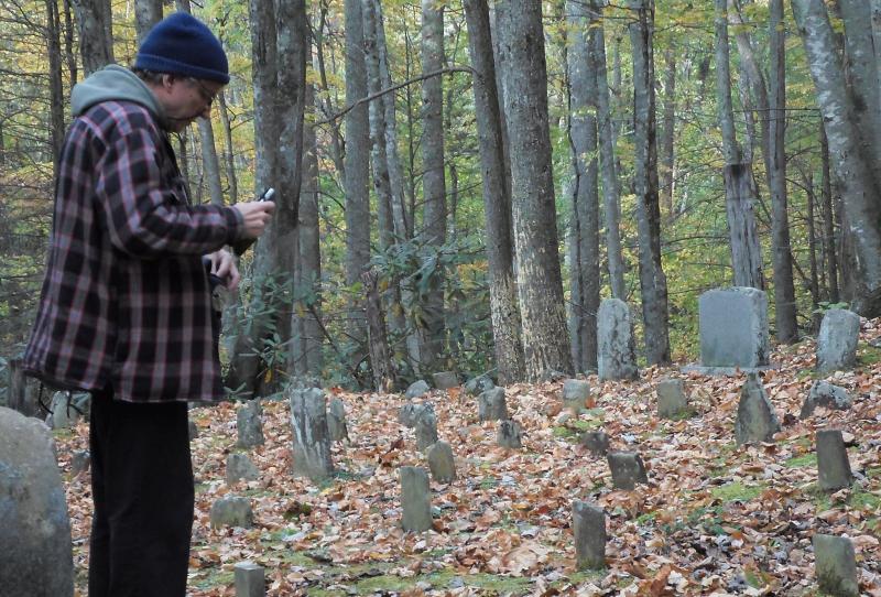
Jim has a text editor on his tablet for taking notes that can later be exported to the desktop computer. As a touch typist, he finds the tablet's one-finger keyboard a huge pain, but it is vital to record facts and, more importantly, record impressions on-site. We are certain that when passing hikers see us laboring over our tablets they must think, ""Boy, these losers just can't stay off Facebook for five minutes, even in the backcountry," even though there may be no cell signal for miles around. We are old enough not to worry about it and to let them think what they will. As the late Joan Rivers said, "I've learned, when you get older, who cares?" These encounters sometimes result in good conversations, and we have "Remembrance" business cards we can give to people interested in having a look at our work.
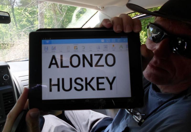
Before entering a cemetery, Jim prepares on his tablet what we call a "Cue Card" displaying the cemetery name, and we both photograph it. This serves like a movie director's clap board and allows us later to know what each set of photographs is.
Back home, Renée organizes the photos and renames each one with details to identify it. In addition to the on-site notes, the photos will often drive the final narrative. After a rough draft is written, Jim pulls appropriate photos from Renée's collection, crops and resizes them, and inserts placeholders into the text.
A working draft of a blog is then given to Renée, who suggests improvements, sometimes flatly saying it just doesn't work and sending it back to the operating table.
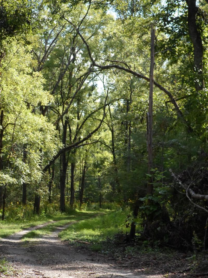
No two cemeteries are ever alike, and so our explorations never get old. We are privileged to visit places of astounding beauty, and never take that privilege lightly or for granted.